
COLD LAKE, LONG LIGHT
A 6-Day Fine-Art Photography Workshop on Minnesota's North Shore
Snowmelt. Basalt. Fog. Light that refuses to quit. Lake Superior. Six photographers. One instructor.
SPLIT ROCK • GOOSEBERRY • TETTEGOUCHE • PALISADE HEAD • GRAND MARAIS • GUNFLINT • GRAND PORTAGE
At a Glance
- Friday, May 14th – Wednesday, May 19th, 2027
- $3,200 per participant, double occupancy — instruction, 5 nights' lodging, all meals & non-alcoholic beverages
- 6 days / 5 nights: four full field days, two half-days
- Six participants, one instructor
- Basecamps: Silver Bay (2 nights), Grand Marais (3 nights)
- Format: self-drive caravan with radios, evening route briefings, rotating carpools
- Terrain: moderate — uneven wet basalt, stairs, cobble beach, hikes to 2 miles
- Level: enthusiastic intermediate through advanced
- Access: state park permits and Grand Portage Band guide arrangements included
The Coast Minnesota Forgot to Mention
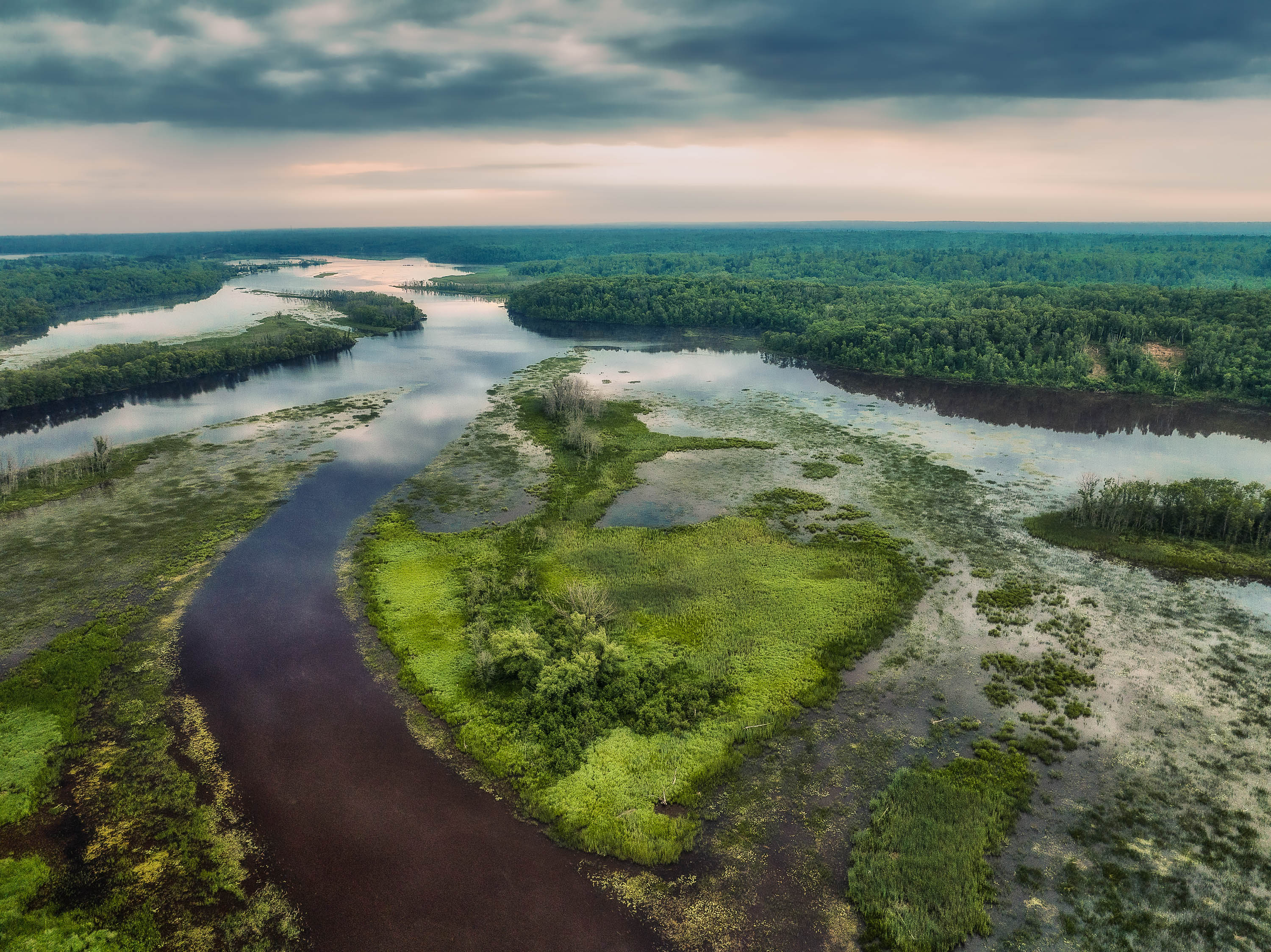
Most of the country doesn't know Minnesota has a coast. Not a lakefront — a coast. A hundred and fifty miles of billion-year-old basalt running northeast from Duluth to the Canadian border, cliffs dropping three hundred feet into water cold enough to take your breath in July, a dozen rivers falling off the Sawtooth highlands, and a horizon that curves.
We work that coast in the two seasons almost nobody photographs it, moving northeast in two stages: Silver Bay first, among the great river mouths and cliff heads, then Grand Marais for the border country beyond. Waterfalls at the volume they only reach when the snow is coming off the highlands. The volcanic shoreline — sea stacks, tombolos, shelves, and the arch at Hollow Rock — with the wave timing and long-exposure technique it demands. And real time north and west of Grand Marais, where most visitors never get: the Gunflint overlooks, the creek corridors, the fire tower on Mount Josephine, and the Pigeon River dropping a hundred and twenty feet at the Canadian line.
Two Departures, Two Personalities
Same route, same instruction. The shore simply answers differently depending on when you ask.
Late May is the water trip. The Baptism, Caribou, Cascade, and Pigeon all run hard, and the small creeks that vanish by August are still worth a tripod. Hardwoods are bare or barely budding — which sounds like a loss and is actually a gift, because you can see the architecture of a river without a canopy hiding it. No insects to speak of, and nights still reach true darkness, so an aurora alert is something we can act on.
Late June is the light trip. Sunrise before 5:15 AM, color in the sky past 10:00 PM. Lupine runs purple along the roadsides and river mouths, and wildflowers fill the creek bottoms. Because Lake Superior is still near 40°F while the air is warm, the shore generates some of the densest, most useful fog in North America — the condition that turns Split Rock into a suggestion and a sea stack into a silhouette.
One honest note about June: at this latitude, near the solstice, the sky never reaches astronomical darkness. There is no Milky Way session on that departure and aurora work is limited. What you get instead is a blue hour running over an hour on both ends of the day. It's a good trade, but it is a trade, and you should know before you book.
What Makes This Workshop Different
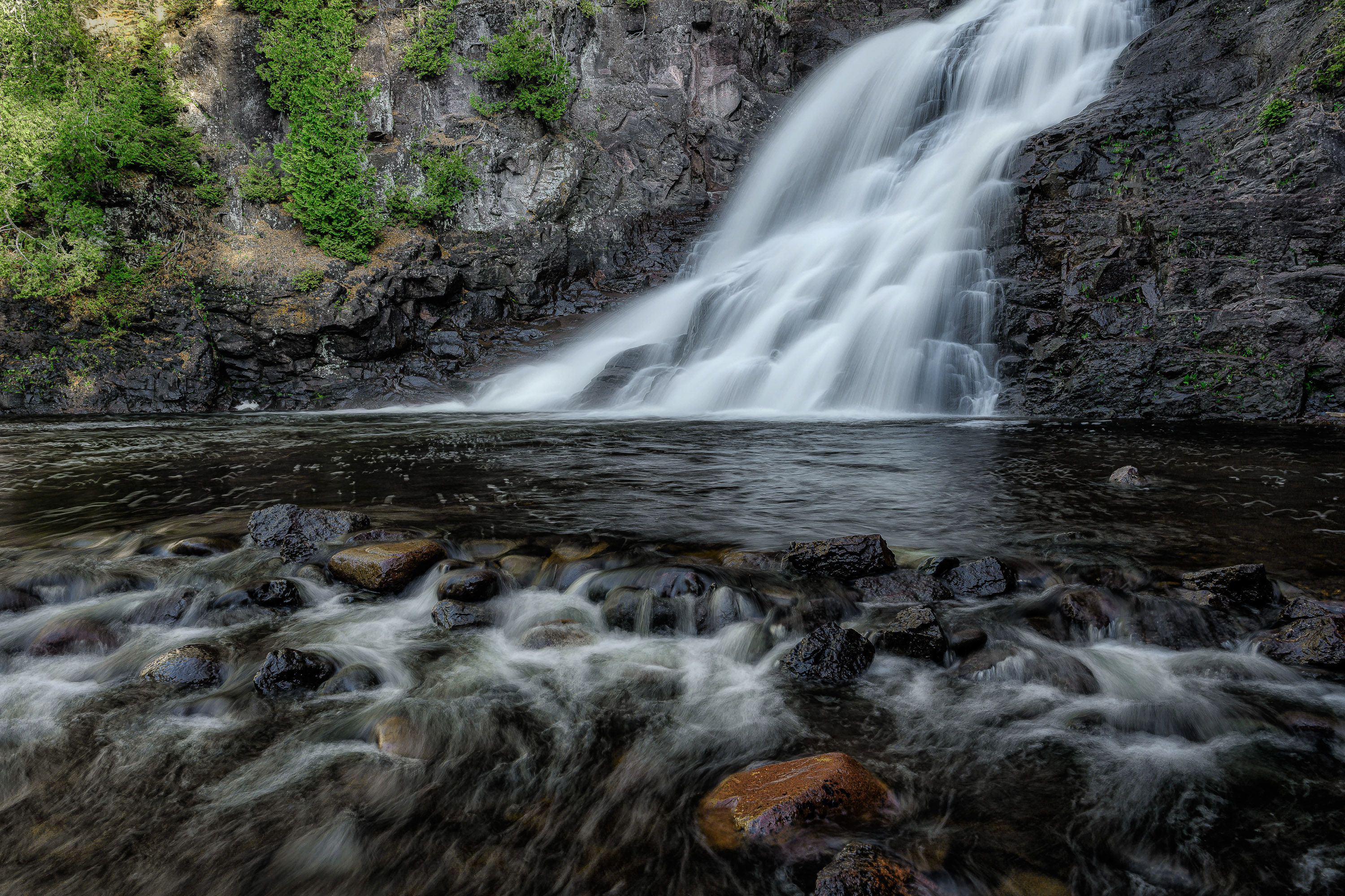
Water at volume. Ten named waterfalls and cascades sit on this route, most of them running harder in late May than at any other point in the year. We won't apply the same half-second to all of them — the right shutter speed depends on the shape, volume, and personality of the water in front of you. Strand Creek asks for something different than the lower Gooseberry. High Falls on the Baptism, seventy feet of dark water off a rhyolite lip, asks for weight and texture. The Pigeon asks mostly for restraint. Instruction covers matching shutter speed to flow, polarizing wet rock without killing the shine that makes it read as wet, holding shape and detail inside white water, balancing a bright cascade against black basalt, and working safely on rock that is more slippery than it looks.
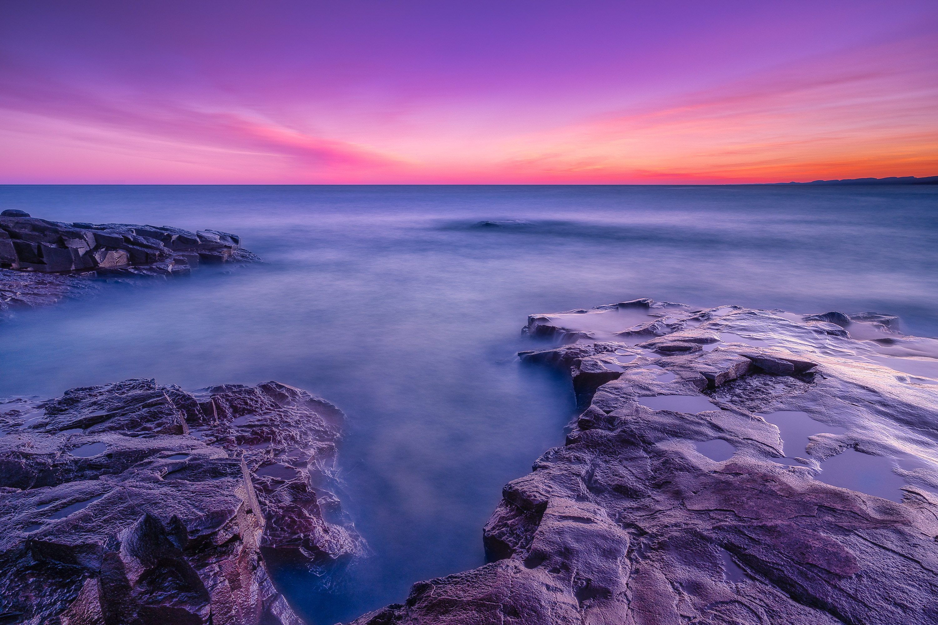
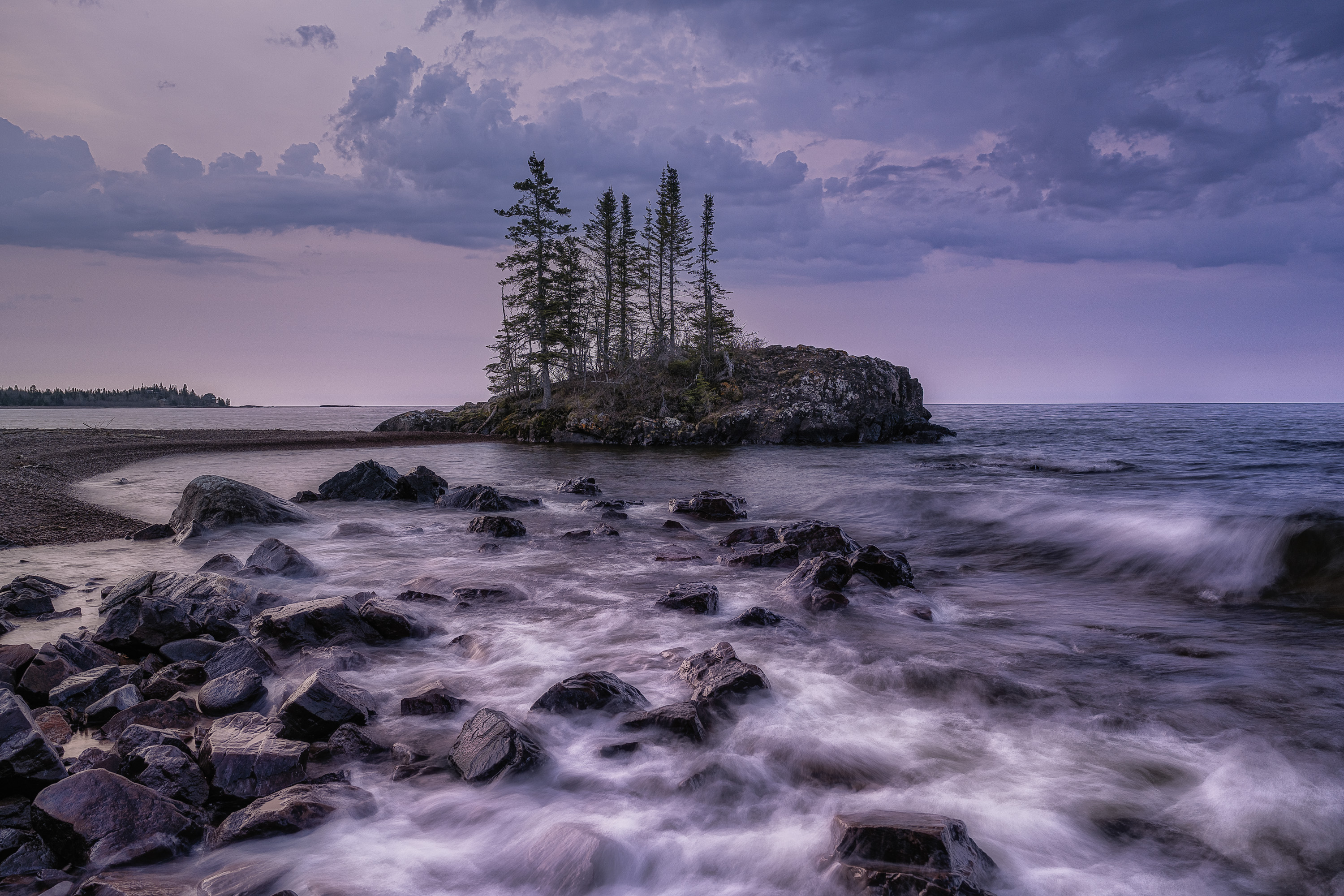
The basalt coast. Lava flows from a failed continental rift, tilted, fractured, and worked over by a lake with no patience: the sea stack off Shovel Point, the three-hundred-foot face of Palisade Head, the shelves at Artist's Point, the Grand Marais tombolo, Horseshoe Bay, and the arch at Hollow Rock. Shoreline work is a timing discipline more than a compositional one — wave rhythm, the difference between catching water arriving and catching it leaving, long exposure that simplifies a chaotic surface without turning it to fog, and hard black foreground against soft horizon. Split Rock appears twice, sunset and the following sunrise, specifically so you can watch direction transform a subject you thought you'd already solved.
Fog as a subject, not a setback. Most photographers write off a fogged-in morning. We treat it as the assignment. Fog removes depth cues, which hands you separation for free — the exact problem we spend the rest of the week solving with long lenses and careful position. We work silhouette, tonal compression, the point where a subject has lost too much detail, and the exposure corrections fog demands of a meter trying to make everything middle gray.
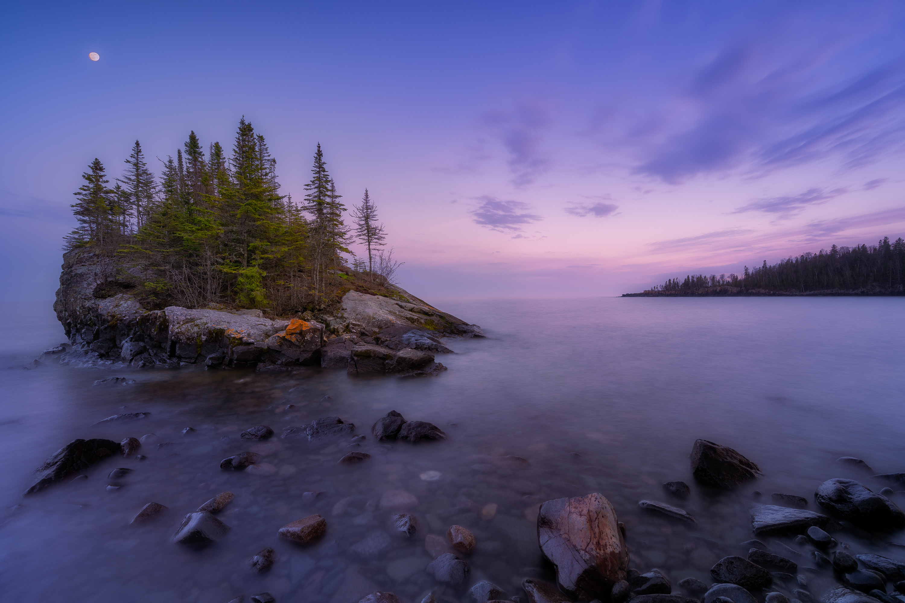
Long light and extended blue hour. At 47 degrees north in June, golden hour isn't twenty minutes; it's closer to forty, on both ends. There's time to build a composition rather than grab one, and to work a location through a full arc instead of one moment. Blue hour — cool, even light over black rock and cold water — becomes a major part of the trip rather than a footnote, and most visitors have already gone to dinner. On the May departure, no one can promise northern lights; what I can promise is that if the forecast turns while we're in Grand Marais, we'll be out on a dark north-facing shore instead of asleep.
Border country. Caribou Rock looks over the Bearskin lakes from the edge of the Boundary Waters. Poplar Creek gives two working locations in the Gunflint corridor. The Mount Josephine fire tower opens across Wauswaugoning Bay toward the Susie Islands and Isle Royale. And the Spirit Tree — Manidoo-giizhikens — stands on Hat Point on land belonging to the Grand Portage Band of Lake Superior Chippewa. It is a sacred site, not a photo stop: access is arranged in advance through the Band, is accompanied, and carries specific conduct expectations I brief in full beforehand. Access isn't guaranteed. If the Band closes the site or conditions make it inappropriate, we photograph Mount Josephine instead and nobody argues about it.
Small by Design
Six participants and one instructor means I can look through every camera during a session, and the group still fits on a basalt ledge without anyone standing in anyone else's frame.
The rhythm of a field day. Mornings start in the dark. We're on the rock or at the river before there's anything obvious to photograph, using blue hour to settle camera position while composition is still a decision rather than a reaction. First light usually leads straight into a second location while the sun is low and the color is still doing work. Midday is deliberately soft: three of the six days carry a scheduled rest and review block. That's not filler — on a trip with 4:30 AM departures and 9:00 PM sunsets, the afternoon is when you back up cards, sleep ninety minutes, and sit down with what you made while the decisions are fresh. Those blocks are also where the real editing instruction happens: what a file needs, what it doesn't, and how to hold one voice across six days of very different subjects. Late afternoon picks back up with a waterfall or a drive up the Gunflint, and evenings end on the coast, an overlook, or a fire tower.
Instruction while the light is alive. The most useful feedback arrives before the moment has passed. In the field we work camera position, focal length, shutter speed, aperture, focus, filter choice, histogram, and edge control — the small changes that turn a decent frame into a good one. I'll look through your camera and explain not just what I'd change but why. One participant may be refining the shape of water at a quarter second while another isolates a wave at 200mm; the group gathers when a concept helps everyone, then spreads out enough for six photographers to make six photographs.
Lodging and meals. Silver Bay puts Split Rock, Gooseberry, Palisade Head, and Tettegouche within fifteen minutes — a working town rather than a resort town, which is exactly right at 4:30 in the morning. Grand Marais puts the harbor, tombolo, Artist's Point, and lighthouse within walking distance, with the whole Gunflint Trail and Grand Portage country in reach, plus a working harbor, a proper bakery, and somewhere to eat after a 9:30 PM sunset. Three nights there also means three mornings that don't start with loading luggage. Every meal is included from the Day 1 welcome dinner through the final Day 6 breakfast or brunch, along with non-alcoholic beverages — some sit-down, some packed before a 4:30 AM departure or eaten at a trailhead between two waterfalls. Meals follow the light rather than interrupting it. Alcohol is a personal expense.
Transportation. Participants provide their own vehicles. We travel as a caravan with two-way radios, clear meeting points, and an evening briefing for the next morning; I drive the lead vehicle. Most of the route is Highway 61 and paved park roads, though the upper Gunflint, the Grand Portage approaches, and a few creek pullouts involve gravel or narrow shoulders. Any reliable vehicle handles this itinerary — ground clearance helps on two or three approaches but isn't required, and there's no four-wheel-drive segment. For the Gunflint and Grand Portage outings, where trailhead parking is tight and the roads are unfamiliar in the dark, we consolidate into two or three vehicles with driving assignments rotating across the group. You must be comfortable driving before dawn and after sunset on unfamiliar roads; deer are a genuine hazard on 61 at both ends of the day.
Weather and Safety
Lake Superior generates its own weather and doesn't consult the forecast. A calm morning can turn into six-foot surf by afternoon, fog can arrive in twenty minutes, and May snow is entirely possible on the Gunflint. I monitor conditions, roads, lake state, and trail access throughout, and I make all group movement calls — the itinerary changes when a cliff edge becomes unsafe in wind, a river is running too high for the planned approach, a road is still closed, or exceptional fog shows up somewhere better than the plan.
The specific hazards deserve naming. Wet basalt is treacherous. Palisade Head and the Tettegouche overlooks have unfenced edges above long drops. Lake Superior in May and June will incapacitate a swimmer in minutes, which makes a slip near the water a serious event rather than an inconvenience. No participant works near an edge or in surf without a brief, and no photograph on this itinerary is worth any of it.
Day-by-Day Itinerary
This is a living itinerary. The route, lodging sequence, and photographic arc stay intact; water levels, fog, wind, lake conditions, road status, and exceptional light may change the order, timing, or exact locations. Every outing is briefed the evening before.
Day 1 — First Light on the Lighthouse
Half-day arrival. We meet in Silver Bay for introductions, gear review, radio issue, caravan procedure, shoreline safety, and the plan for the week.
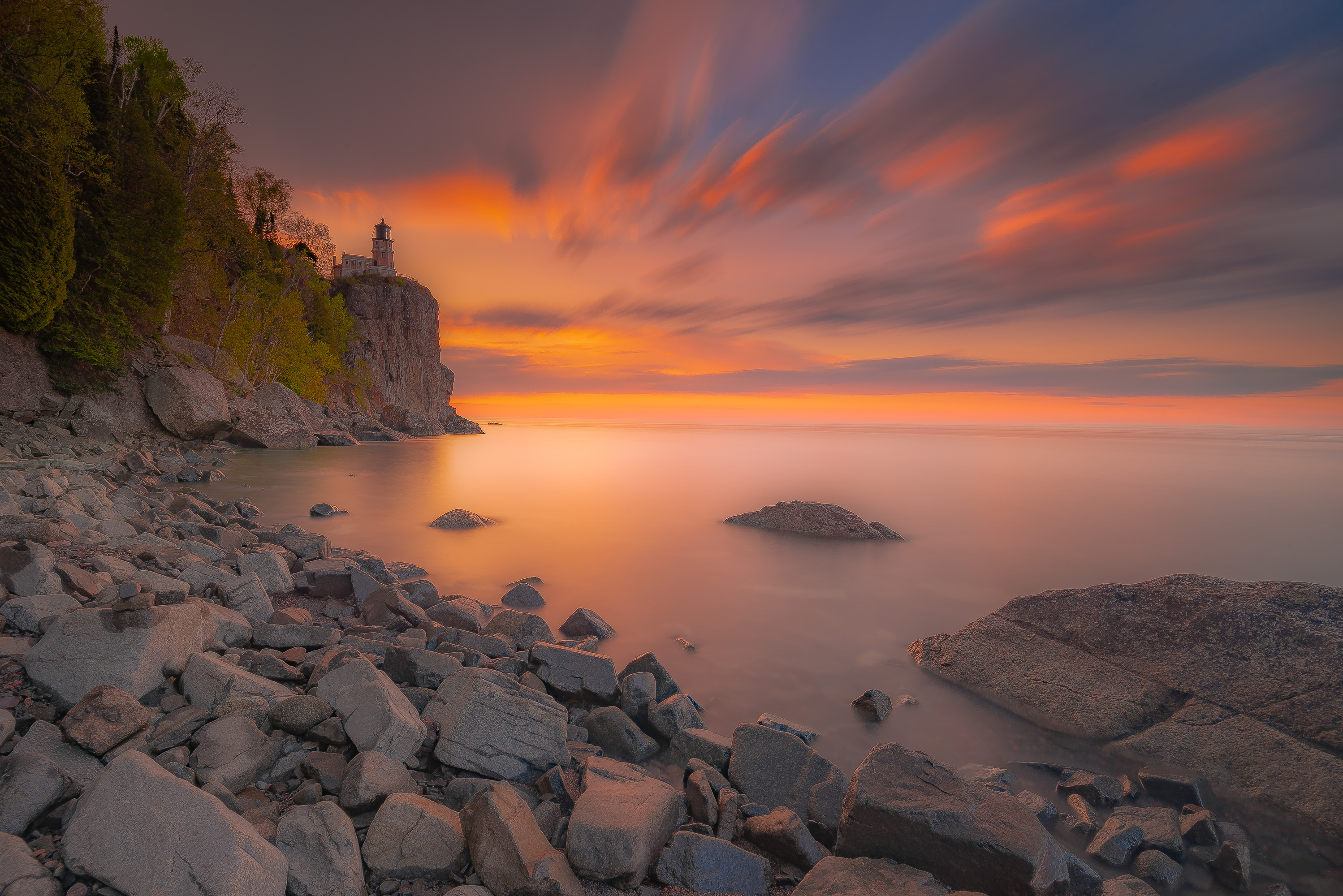
Sunset: Split Rock Lighthouse. No better opening subject on this coast — a 1910 light station on a 130-foot cliff, photographed more than any structure in Minnesota, and still capable of a frame nobody has made. The evening's work is finding the angle that isn't the postcard: shooting from the cobble below, using the cliff as mass rather than pedestal, or letting the lighthouse go small inside a larger composition of rock and water.
Included welcome dinner and briefing for the first pre-dawn departure. Basecamp: Silver Bay
Day 2 — The Lighthouse Again, and Two Rivers
Sunrise: Split Rock Lighthouse. The same location twelve hours apart is not the same location. Morning puts the sun behind the light rather than on it, which changes where you stand and what you're actually photographing.
Early morning: Strand Creek Falls and lower Gooseberry Falls. Strand Creek is small, intimate, and easy to walk past — exactly the kind of subject that teaches more than a famous one. The lower Gooseberry then gives volume and a broad rock stage. Two very different kinds of water within an hour.
Day: rest, image review, and Manitou Cascades. An afternoon block for sleep, backups, and our first sit-down review, then inland to the Manitou, where the river drops through a steep forested gorge in the quietest park on the shore. Rugged approach, and a river almost nobody photographs.
Sunset: Palisade Head. Three hundred feet of sheer rhyolite with a view southwest down the whole coast. On a clear evening the light runs up the cliff faces below you; in fog the lake disappears entirely and you're photographing an edge into nothing. Both are worth being there for.
Basecamp: Silver Bay
Day 3 — Tettegouche and North to Grand Marais
Sunrise: Tettegouche sea stack. Off Shovel Point, a freestanding rhyolite column stands in the water below the cliff trail — the closest thing Minnesota has to a true sea stack, with the sun coming up over open water behind it. Wave timing, long exposure, and the question of how much cliff to include.
Early morning: High Falls, Baptism River. Seventy feet of dark water off a hard lip, the tallest waterfall entirely within Minnesota. We work it from the base and the overlook, comparing a rendering that keeps its energy against a longer exposure that simplifies it.
Day: Illgen Falls and Caribou Falls. Illgen is a compact plunge in a rock bowl; Caribou takes a steeper walk and pays with a narrow, layered cascade that rewards a longer lens. Both are exercises in finding order in a cluttered river bottom. We then continue northeast to Grand Marais.
Sunset: Artist's Point. The rock point sheltering the harbor, with a small light at the end of the breakwater and exposed basalt shelves on the lake side. A century of painters worked this ground for a reason. Shelves as foreground, harbor light as anchor, and whatever the lake is doing that evening as the subject.
Basecamp: Grand Marais
Day 4 — The Tombolo, Portage Brook, and Caribou Rock
Sunrise: the tombolo. The gravel bar connecting Artist's Point to the mainland, built by two opposing wave trains. At dawn it gives water on both sides, a low graphic foreground, and a clean eastern horizon — a completely different frame a few hundred yards from last night's.
Early morning: Portage Brook Falls and Overlook. Northeast toward the border, a creek corridor that sees a fraction of the state park traffic. The falls sit in tight forest; the overlook opens onto the country beyond. Together they make the point that an unnamed location can outperform a famous one on the right morning.
Day: rest, image review, and Cascade Falls. An afternoon reset and our second review block, then back southwest to the Cascade River's stepped chutes inside a dark cedar gorge. The canopy makes this one of the best overcast subjects on the route, and one of the hardest to compose cleanly.
Sunset: Caribou Rock. Up the Gunflint and onto a rock shoulder above the Bearskin lakes at the edge of the Boundary Waters. After three days of Lake Superior, the scale collapses to something intimate — forested ridges, quiet water, and long northern light across it.
Basecamp: Grand Marais
Day 5 — Horseshoe Bay, the Gunflint, and the Pigeon River
Sunrise: Horseshoe Bay. A protected curve of cobble beach northeast of Hovland, facing southeast into the sunrise. Calm mornings produce reflection and delicate color; rough ones produce surf against dark stone. We work the bay's shape as a leading element and the cobble as texture.
Early morning: Poplar Creek. Two working locations in the Gunflint corridor — moving water, boreal forest, and northern light filtered through spruce and birch. A long-lens morning as much as a wide one.
Day: rest, image review, and High Falls of the Pigeon River. An afternoon block, then out to the border. The Pigeon drops a hundred and twenty feet at Grand Portage State Park — the tallest waterfall in Minnesota, on tribal land, with Ontario on the far bank. The platforms are excellent and the problem is real: how do you photograph something this large without producing a record shot? We work the falls, the gorge below, and the relationship between them.
Sunset: the Spirit Tree, or Mount Josephine Fire Tower. Conditions and access decide the evening. Manidoo-giizhikens is an ancient cedar rooted in bare rock on Hat Point, visited by arrangement and with a guide, under conduct expectations I'll brief in full. If the site is closed or conditions are unsuitable, we climb to the Mount Josephine fire tower, where the view opens across Wauswaugoning Bay toward the Susie Islands with Isle Royale on the horizon on a clear evening. It is not a consolation prize. Included farewell dinner follows.
Basecamp: Grand Marais
Day 6 — Hollow Rock and the Last Morning
Half-day; no lodging is scheduled tonight.
Sunrise: Hollow Rock. The closing image — a small eroded sea arch off a cobble shore near Grand Portage, facing east into open water. One of the most photographed rocks on the North Shore and still one of the best, because the water around it is never the same twice. Six days of accumulated decisions go into this frame, and I'll push you past the first composition that works.
Final morning: the Spirit Tree. Where access permits, a last quiet visit to Hat Point in morning light — a different direction, a different mood, and a fitting place to end a week spent on very old rock.
An included breakfast or brunch closes the workshop. Files are backed up, radios returned, final questions answered, and participants depart on their own schedules.
Investment
Tuition: $2,800 per participant, double occupancy Single supplement: $600 for private lodging at both basecamps Non-participating companion: $900 — shared lodging, all meals, and non-alcoholic beverages, without photographic instruction
Payment schedule
- $800 deposit to reserve your seat, due no later than 120 days before departure
- $1,200 second payment due 90 days before departure
- Balance due 60 days before departure: $800 double occupancy • $1,400 with single supplement • $1,700 with non-participating companion
Only six participant seats per departure. A deposit is what holds your spot.
Included: five nights' arranged lodging (2 Silver Bay, 3 Grand Marais) • all breakfasts, dinners and snacks from the Day 1 welcome dinner through the Day 6 breakfast • non-alcoholic beverages and field hydration • full field instruction at 6:1, covering sunrise, sunset, waterfall, shoreline, fog, long-exposure, and blue-hour technique • scheduled image-review and post-processing sessions • a two-way radio for every participant • Minnesota state park permits • Grand Portage Band access arrangements and guide fees for Hat Point, where available • daily route briefings, meeting points, carpool coordination, and field leadership.
Not included: transportation, vehicle rental, fuel, and parking • airfare and travel to Silver Bay or home from Grand Portage • alcohol and personal purchases • camera equipment, cards, and computers • travel insurance, strongly recommended • gratuities.
Duluth International is the practical gateway, roughly an hour from Silver Bay. Minneapolis–St. Paul is about three and a half hours out.
Physical and Group Requirements
This is a working photography trip, not a scenic drive. Be prepared for:
- repeated pre-dawn departures, as early as 4:15 AM on the June trip
- walks of roughly half a mile to two miles round trip, including stairs
- wet, uneven basalt, cobble, exposed roots, mud, and slick rock near moving water
- unfenced cliff edges at several overlooks
- cold mornings, wind, rain, fog, June black flies and mosquitoes, and fast-changing lake weather
- independent camera operation in manual exposure and RAW
- a valid driver's license and reliable vehicle access throughout
- respectful conduct on Grand Portage Band land and at the Spirit Tree in particular
- prompt departures — at this group size, one late person costs six others their sunrise
Mobility or medical concerns that could affect safe participation should be discussed before booking.
Recommended Gear
Camera kit: interchangeable-lens body with manual exposure and RAW • wide zoom (14–24mm or 16–35mm) • mid-range zoom (24–70mm) • telephoto to at least 200mm, with 400mm useful for shoreline compression • sturdy tripod that can stand in wind on uneven rock • circular polarizer, the single most important filter on this trip • 3-stop, 6-stop, and optional 10-stop solid NDs • remote release or intervalometer for exposures beyond 30 seconds.
Field essentials: waterproof boots with real tread — this is not the trip for smooth soles • rain shell, layers, warm hat, and gloves, since May mornings can start below freezing • camera rain cover, microfiber cloths, lens wipes • headlamp with red-light mode • extra batteries, chargers, ample cards • small towel for spray • insect repellent and a head net for June • refillable water bottle • laptop or tablet and portable SSD for review sessions.
A second body is a luxury, not a requirement. Waders aren't needed; nobody will be asked to enter moving water.
Drones. Aerial work is effectively unavailable on this itinerary. Minnesota state park launches require a permit not issued for general recreational use, which removes Split Rock, Gooseberry, Tettegouche, Cascade River, and Grand Portage. Drones are prohibited in the Boundary Waters, which covers Caribou Rock and the upper Gunflint. Grand Portage Band land, including Hat Point and Mount Josephine, is closed without explicit Band permission. Bring one if you like, but plan to fly on your own time.
What You Take Home
The North Shore looks easy in photographs and isn't. A waterfall will let you make the same picture everyone else has made without ever telling you. A three-hundred-foot cliff flattens into nothing if you point a wide lens at it from the railing. A coastline of black rock and gray water will hand you a dozen frames that are technically correct and completely inert.
This workshop is about the decisions that prevent that. By midweek you stop reaching automatically for the longest exposure. You notice when the polarizer has taken the life out of wet rock along with the glare. You choose shutter speed by looking at the water instead of by habit. You walk two hundred yards past the overlook because the ledge down there is where the composition actually is.
The route reinforces it. Split Rock teaches that direction is a subject. The Baptism teaches volume. The sea stack teaches timing. Cascade teaches you to find one photograph inside a cluttered gorge. The Pigeon teaches restraint. Hollow Rock, on the last morning, asks whether any of it stuck.
You leave with waterfalls, shoreline, fog, forest, cliff, and border country — and a better instinct for walking into a landscape everyone has already photographed and finding the frame that's yours. And because there are only six of you, you may also leave with five people who understand exactly why anyone would get up at 4:15 to stand on cold wet rock in the dark.
Cold lake. Long light. Your composition.
MATT GOLDBERG PHOTOGRAPHY